Remote Sensing of Soil Moisture
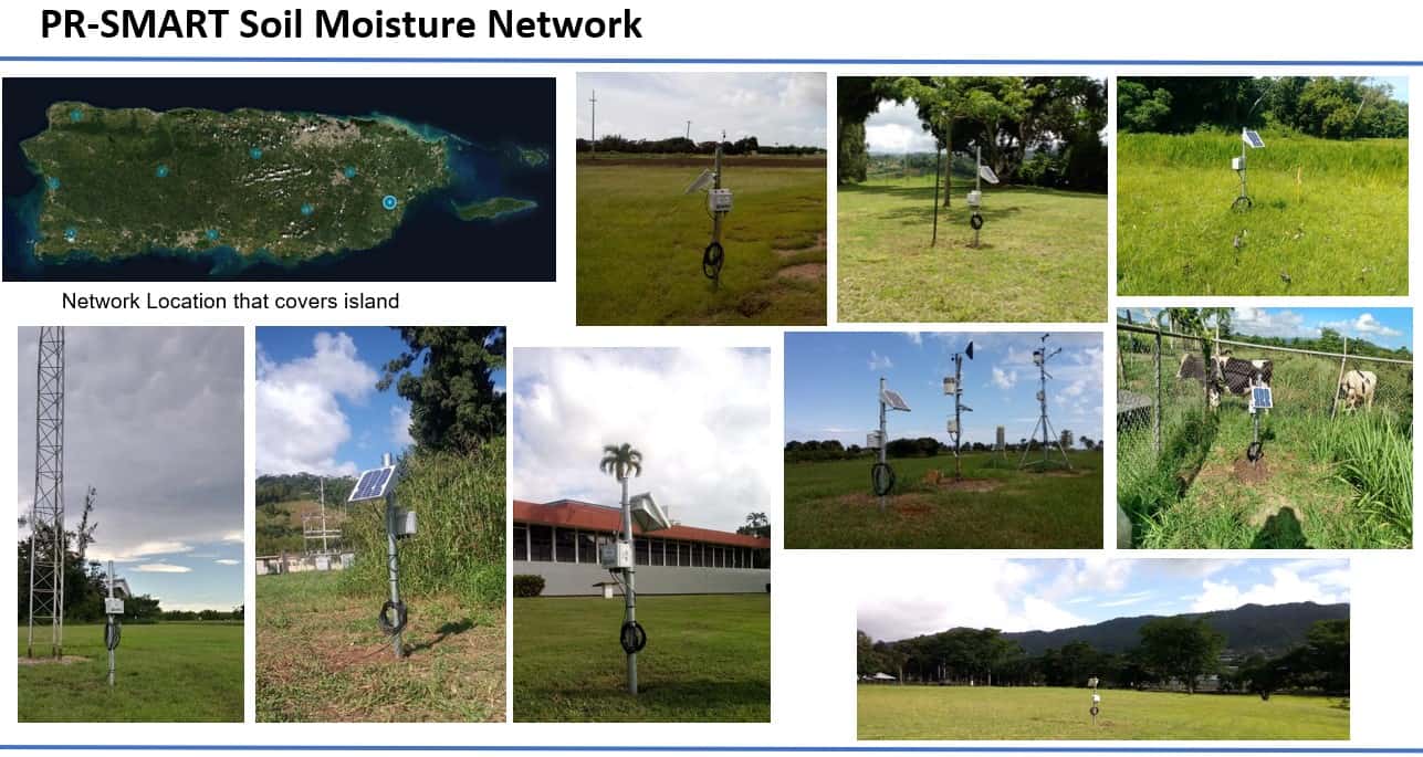
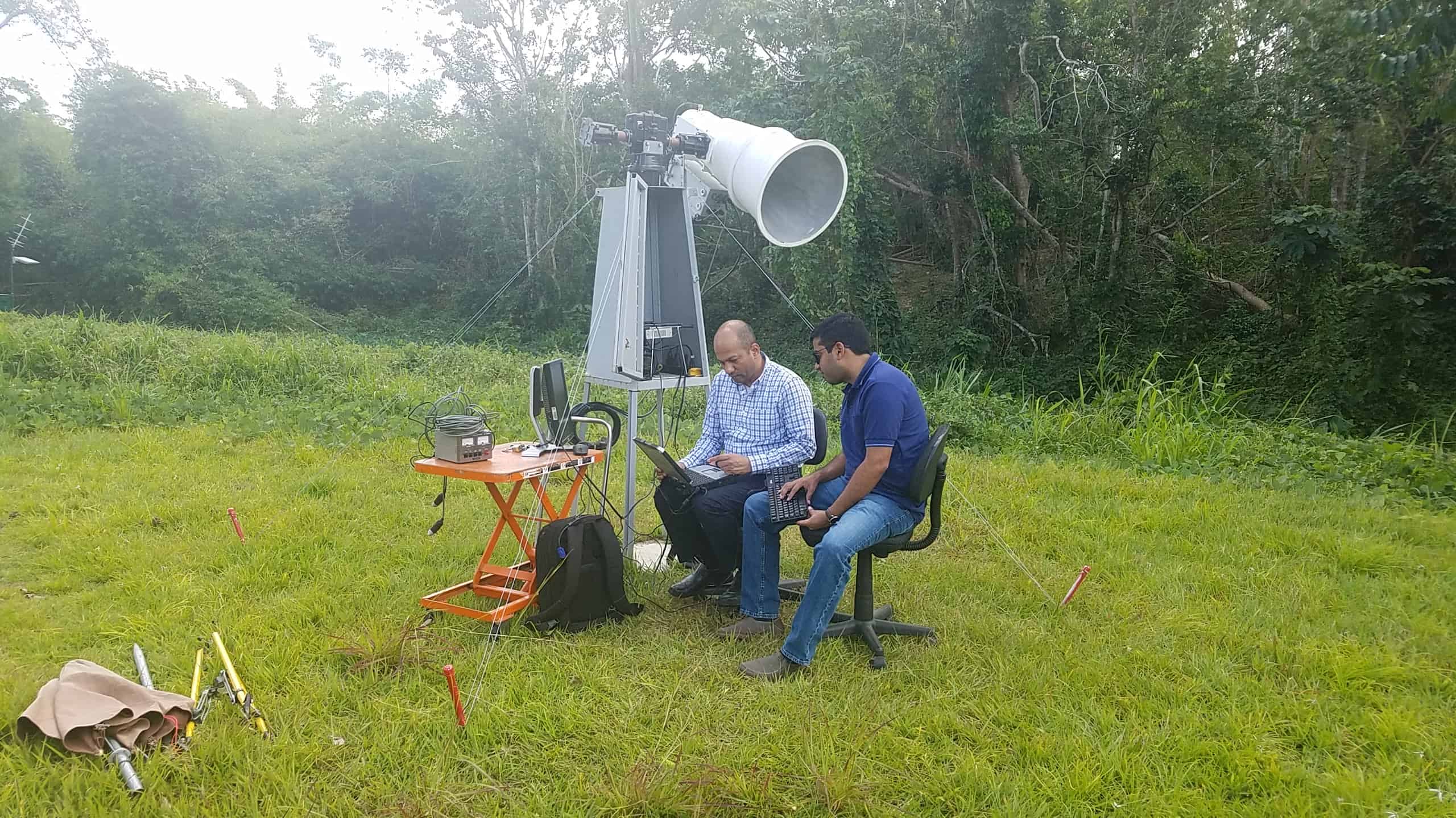
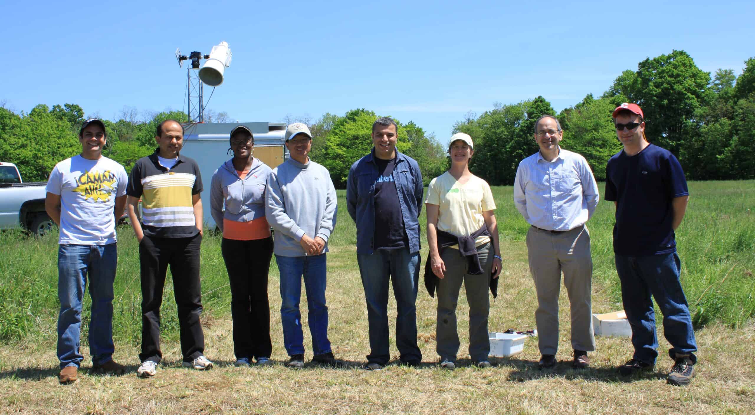
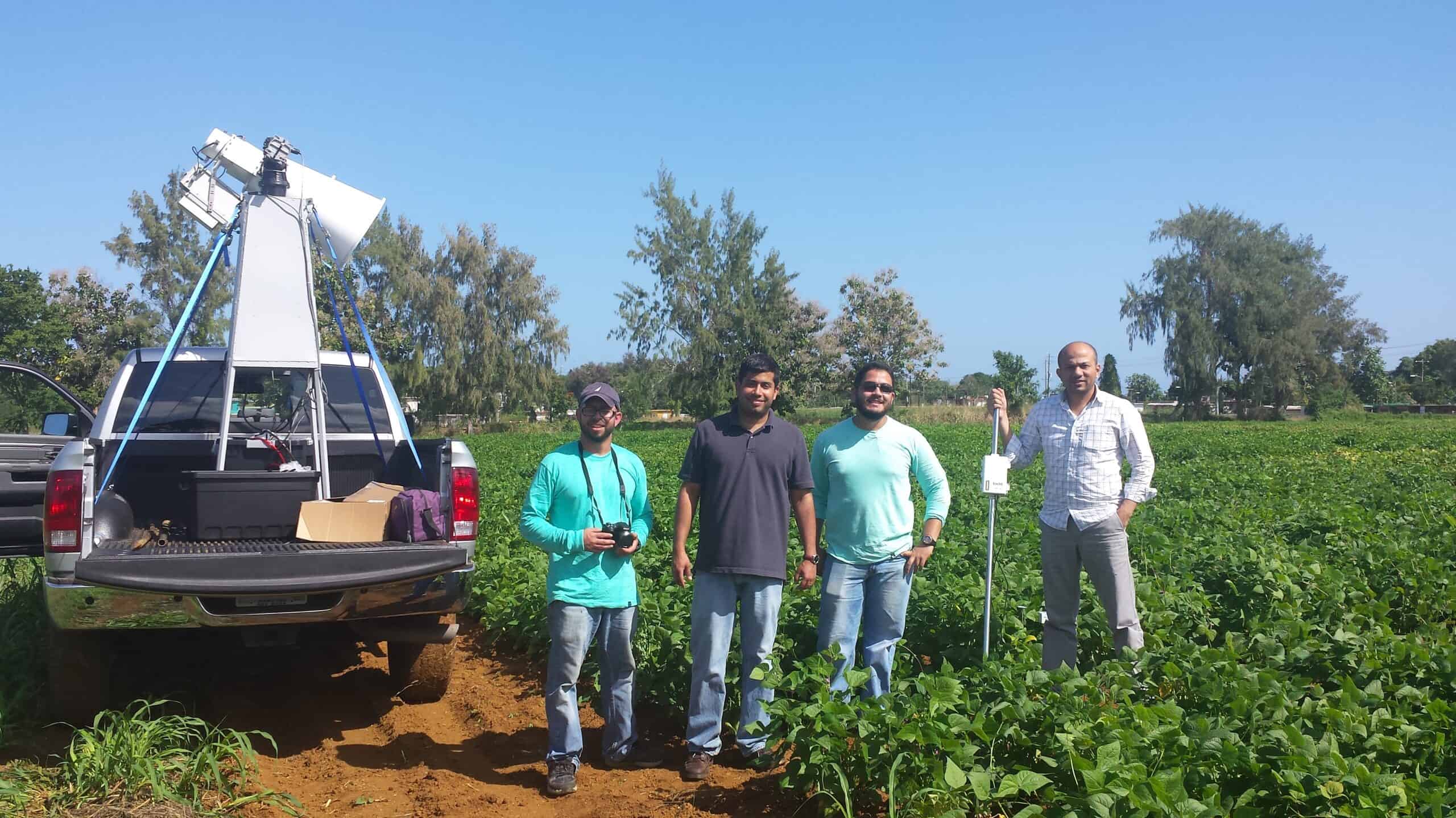
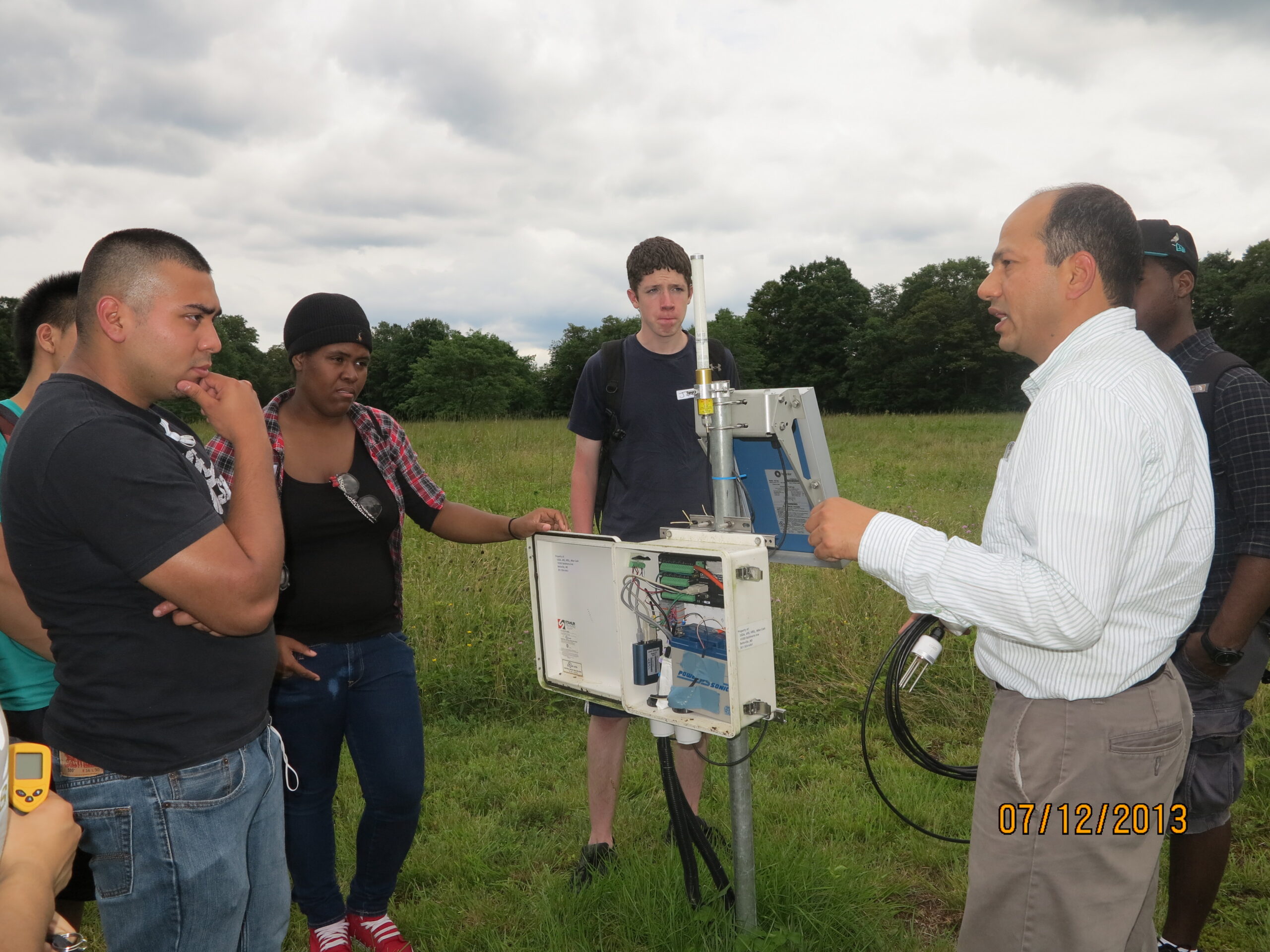
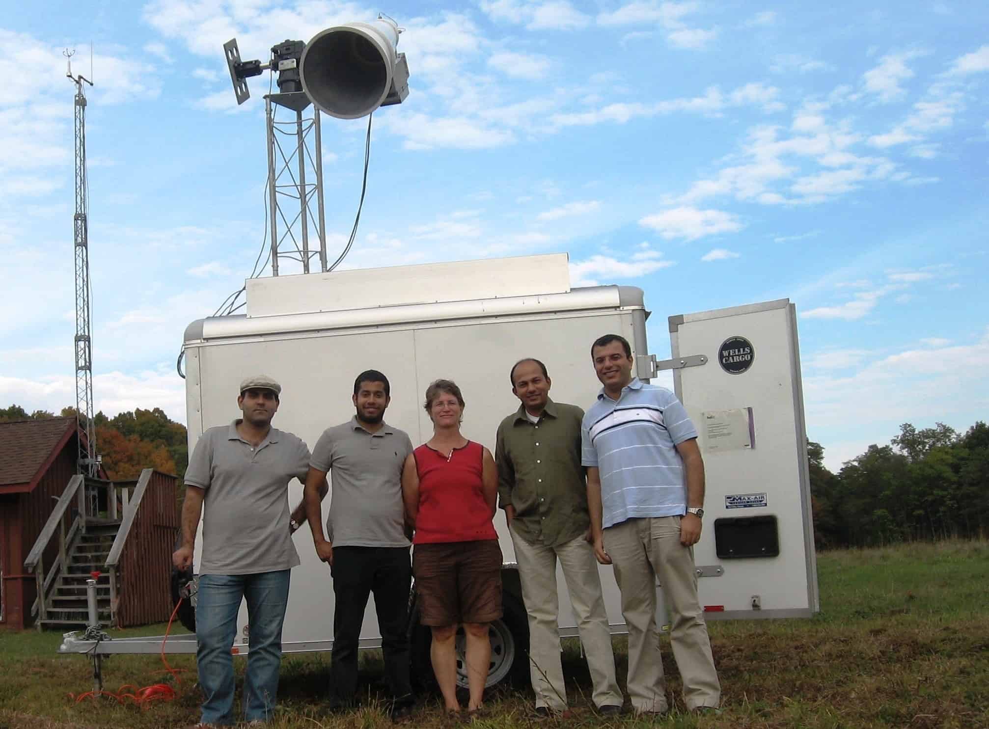
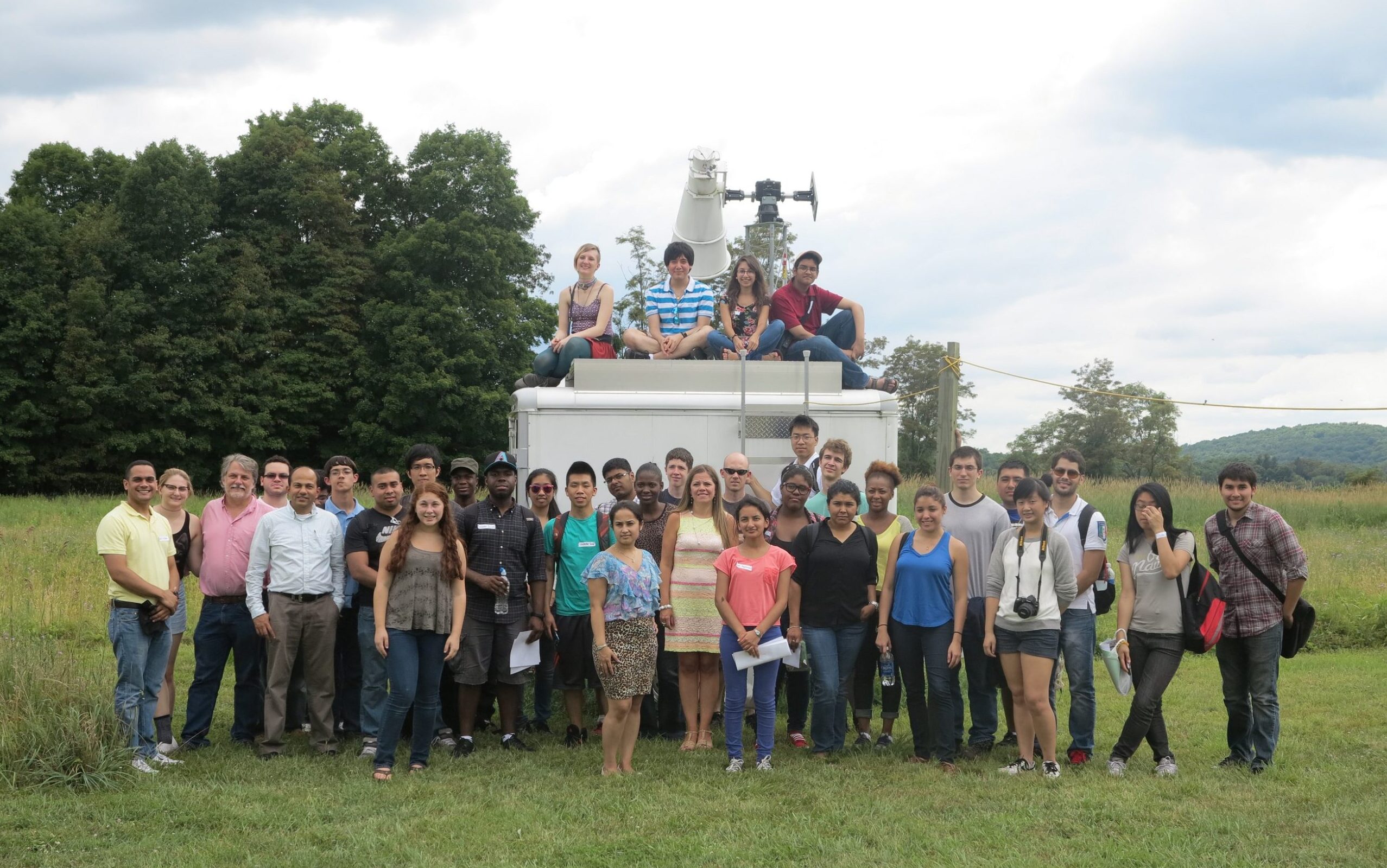
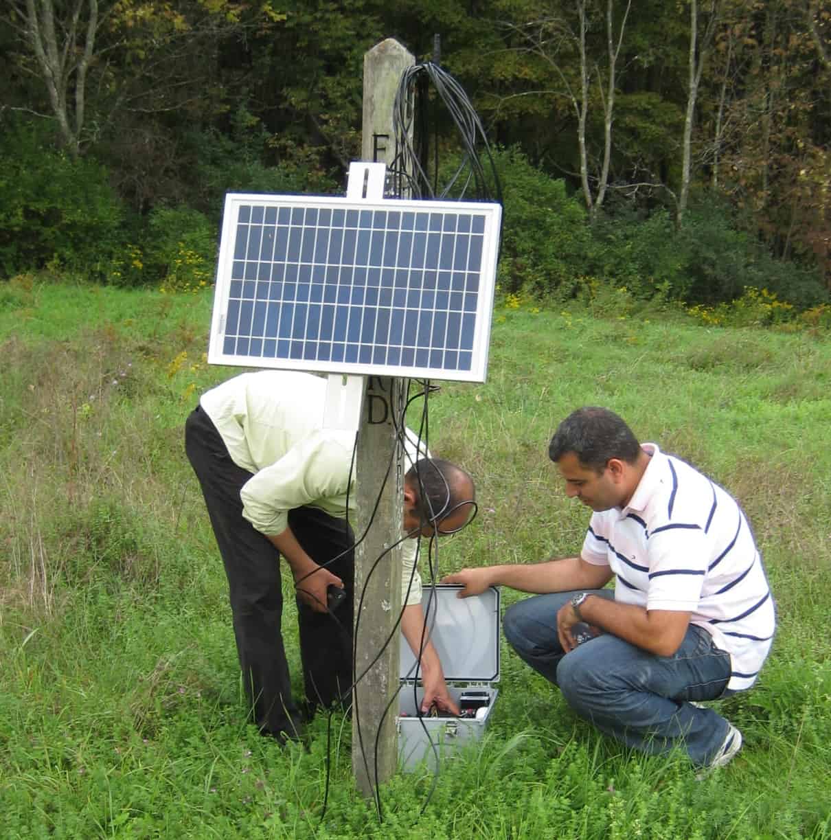
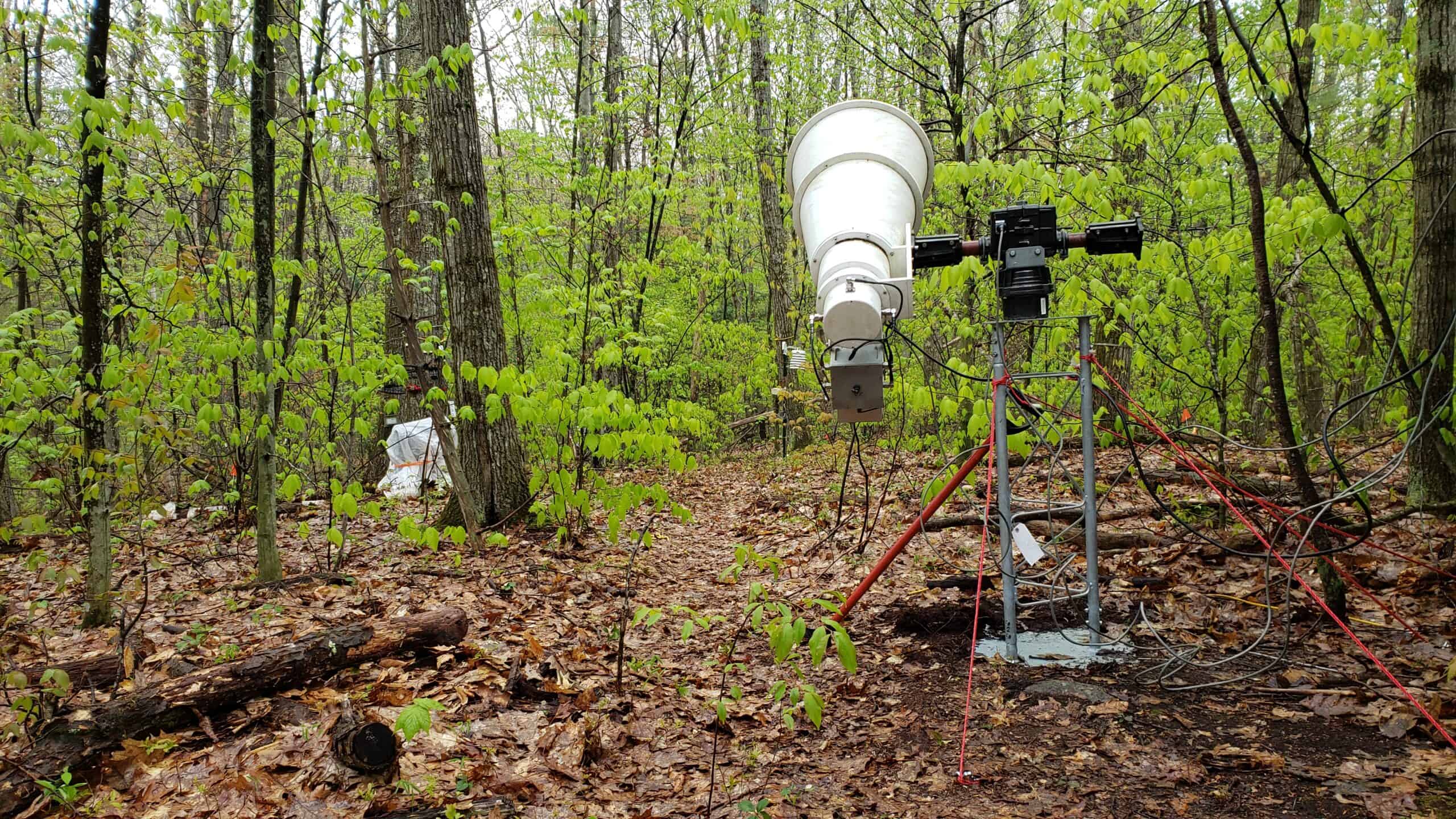
The CREST-SMART (Soil Moisture Advanced Radiometric Testbed) field campaign, spearheaded by Dr. Tarendra Lakhankar, is dedicated to refining microwave radiative models of soil-vegetation systems and enhancing our understanding of the interactions between soil, plants, and the atmosphere. This initiative involves two primary methodologies: (i) employing L-band radiometry for microwave remote sensing, and (ii) implementing an extensive network for ground-level soil moisture measurements.
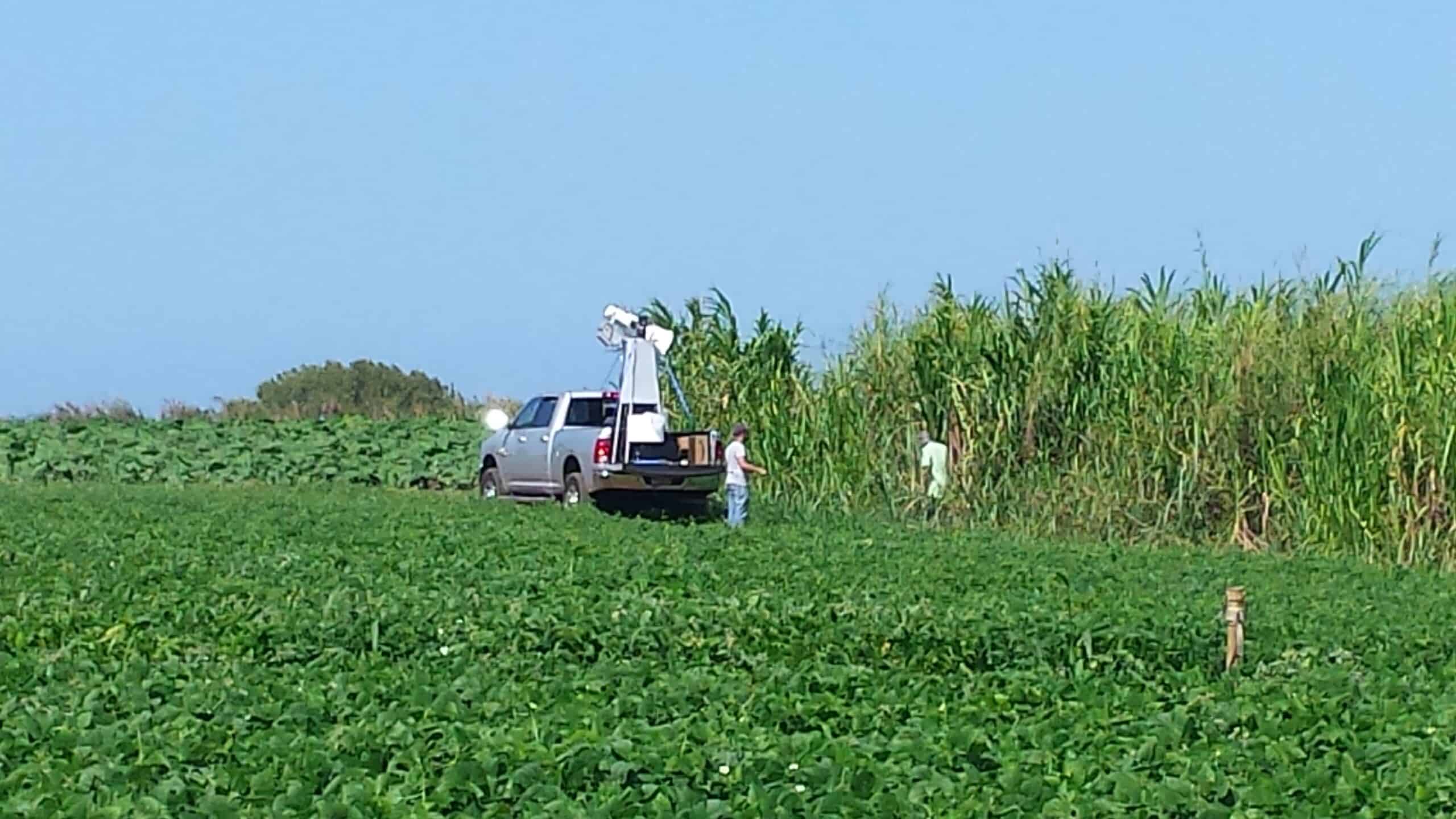
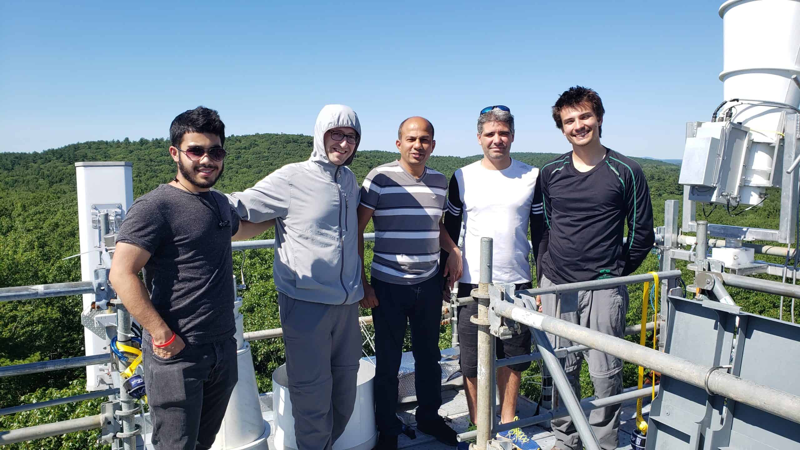
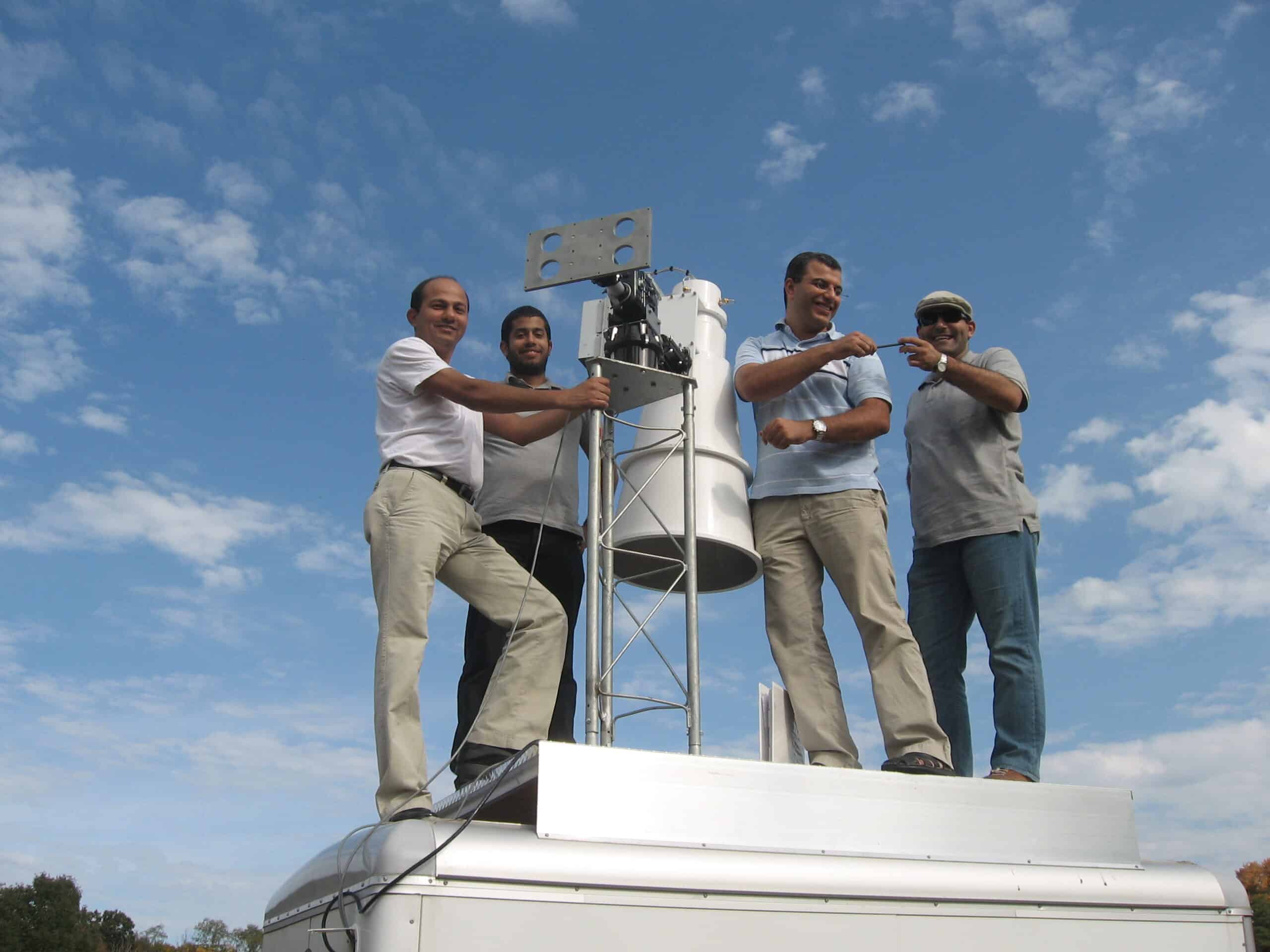
This campaign’s objectives are comprehensive. Firstly, it aims to augment the comprehension of the myriad processes affecting microwave signals. Secondly, it focuses on testing and improving soil moisture retrieval algorithms using dual polarized and multi-angular measurements. Thirdly, it seeks to validate NASA and NOAA satellite data concerning soil moisture products. Adding to the complexity and scope of the CREST-SMART campaign, the instrumentation, which includes the L-band radiometer, has been deployed in various locations, each offering unique environmental conditions and challenges. These locations include Millbrook, NY, Puerto Rico Island, and Harvard Forest, MA. In each of these areas, the L-band radiometer and associated instruments have been integral in supporting a range of projects and field campaigns.
At each site, the L-band radiometer, alongside other instruments, gathers critical data that contribute to the campaign’s overarching goals. For instance, in the diverse ecosystems of Puerto Rico Island and the distinct climatic conditions of Millbrook, NY, and Harvard Forest, MA, the instruments play a crucial role in capturing localized data. This data not only aids in refining soil moisture algorithms but also enhances the understanding of regional soil-plant-atmosphere dynamics. The cross-regional deployment of these instruments ensures a more comprehensive and robust dataset, leading to more accurate models and validations of satellite-derived soil moisture data. This multi-site approach underscores the campaign’s commitment to a thorough and diverse understanding of soil moisture dynamics across different geographical and environmental contexts. https://crest.cuny.edu/smart/
Publications:
- Colliander A, Cosh MH, Bourgeau-Chavez L, Kelly V, Kraatz S, Siqueira P, Walker VA, Chen X, Roy A, Lakhankar T, K. McDonald (2025) SMAP Validation Experiment 2019-2022 (SMAPVEX19-22): Field Campaign to Improve Soil Moisture and Vegetation Optical Depth Retrievals in Temperate Forests. IEEE Journal of Selected Topics in Applied Earth Observations and Remote Sensing.
- Abdelkader, M., Temimi, M., Colliander, A., Cosh, M.H., Kelly, V.R., Lakhankar, T. and A. Fares (2022). Assessing the Spatiotemporal Variability of SMAP Soil Moisture Accuracy in a Deciduous Forest Region. Remote Sensing, 14(14), p.3329.
- Holtzman NM, Anderegg LD, Kraatz S, Mavrovic A, Sonnentag O, Pappas C, Cosh MH, Langlois A, Lakhankar T, Tesser D, N. Steiner (2021). L-band vegetation optical depth as an indicator of plant water potential in a temperate deciduous forest stand. Biogeosciences. 18(2):739-53.
- Fang, L., Zhan, X., Yin, J., Liu, J., Schull, M., Walker, J.P., Wen, J., Cosh, M.H., Lakhankar, T., Collins, C.H. and D.D. Bosch (2020). An Intercomparison Study of Algorithms for Downscaling SMAP Radiometer Soil Moisture Retrievals. Journal of Hydrometeorology, 21(8), pp.1761-1775.