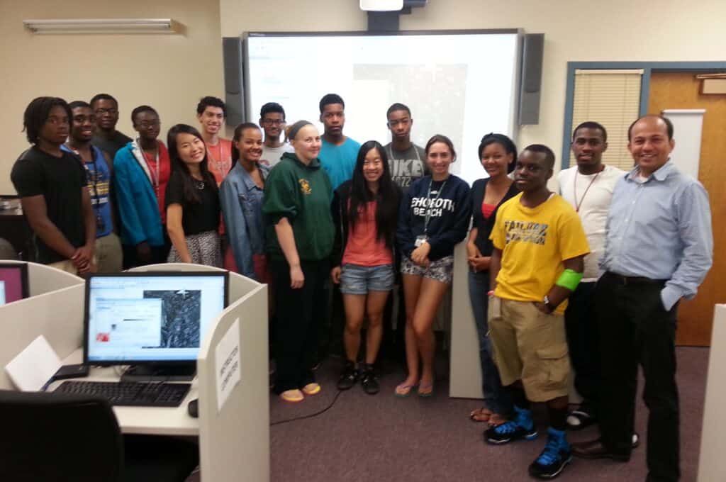
2022 Summer Program (August 1-3, 2022) at University of Maryland Eastern Shore
Geographic Information Systems (GIS) module is designed to introduce the student to the basic principles and techniques of GIS with as objective to develop an understanding of geographic space and how maps represent geographic space. A student will be able to read maps, as well as write about and discuss information gleamed from maps. By the end of the GIS module, students will be creating maps from sources both graphical and tabular data using QGIS. Students will be able to use GIS to build maps using data they collected during program. Students will present and discuss their mapping work based on data collected from different sources using PowerPoint presentation.
Remote Sensing module provides basic understanding about satellite based Remote Sensing technology, characteristics of remote sensors, and its application to earth and enviromental sciences. The module goes on to examine sensor characteristics, satellite orbits and various current and future missions involving a range of sensors across the visible, radar and microwave components of the spectrum.
Assignment:
Students will be given assignments based on activities performed during the class. The examples of assignments includes: (1) importing data with latitude and longitude coordinates in GIS and creating maps, (2) Import excel or other data formats data in GIS and joining it Global or Local maps to create new maps using imported datasets.
Group GIS Project:
Students are divided in two groups with 3-4 students in each group. In the GIS project, students are free to choose Earth System Science related topic, in consultation with the instructor. The project should have rich GIS elements. Students will be downloading data from various government website sources including: Census bureau, NOAA, NASA, USGS, DOL, World Bank, UN, and educational institutes, etc. The grading in GIS project is based quality of GIS maps produced, presentation skills, effort in data processing and preparation, and analysis of data. Students are encouraged to ask questions after presentations.
| Lectures/Modules Slides | Activities and Assignments |
Module 1: Introduction to GIS | Optional Activities: |
Module 2: GIS Data Processing in ArcMap
| Lab Assignments: |
Module 3: Introduction to Remote Sensing and Data Processing
| RS-Assignment 1: Worldview: Remote Sensing for Heat Island RS-Assignment 2: Worldview: Remote Sensing for Forest Fire Estimate |
Module 4: GIS and Remote Sensing Project
|
GIS/Remote Sensing Project: Students will work on group project based on their area of interest.
Instructor will help student in acquiring and processing data that will be imported in GIS framework.